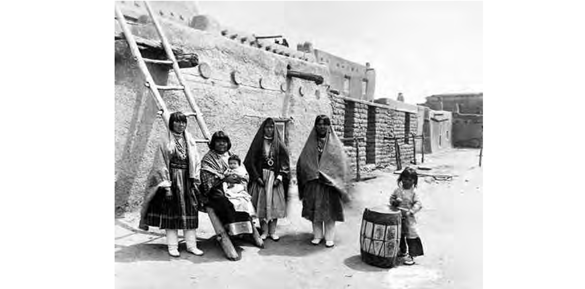
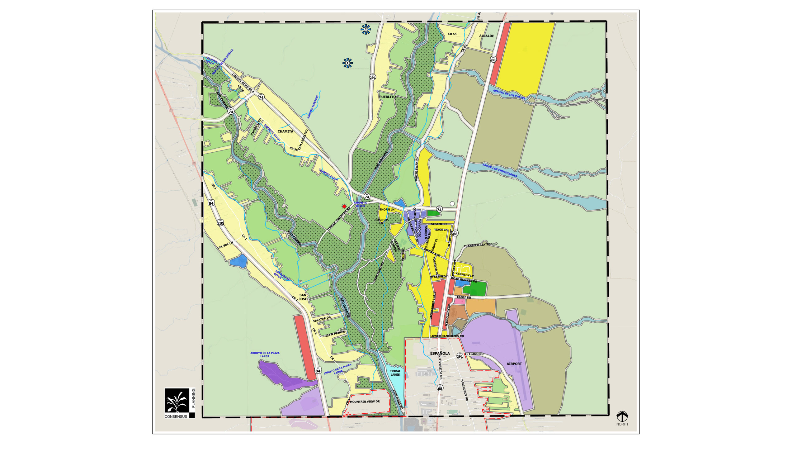
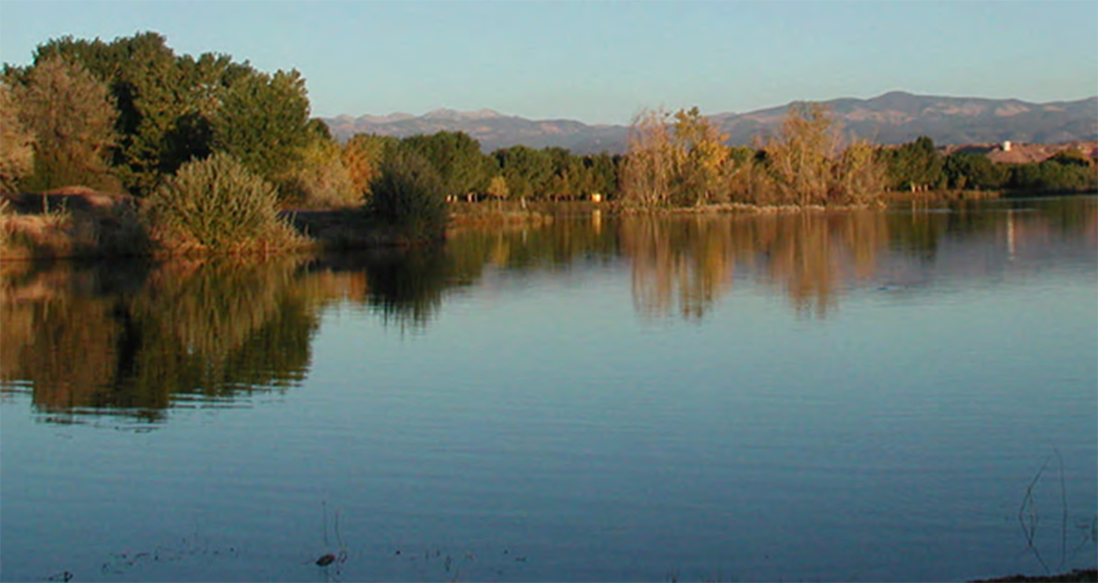
Ohkay Owingeh, the “Place of the Strong People”, is home to approximately 2,964 Tribal Members. It is situated along the fertile valleys and mesas carved out by the Rio Chama and Rio Grande, and between the City of Española and the Town of Taos, within Rio Arriba County. The landscape features mountains, foothills, mesas, and the bosque that runs along and contains the confluence of the Rio Chama and Rio Grande, as well as wetlands and lakes.
The Ohkay Owingeh Land Use Master Plan is an update to the previous Land Use Master Plan that was completed in 2004. The goal of the Land Use Master Plan is to help facilitate and guide new development that is appropriate and consistent with the vision, cultural traditions, and carrying capacity of Ohkay Owingeh. It encourages commerce and economic development activities, while preserving other lands to be used for residential development, agriculture and grazing, cultural practices, and open space.
The Land Use Master Plan is intended to provide the necessary framework for decision making by Tribal Council regarding where to locate new housing, community facilities, and commercial and industrial development, while remaining respectful of Ohkay Owingeh traditional practices and way of life. It describes the interconnectivity between land use, economic development, transportation, and infrastructure. The provision of and investments made on transportation and infrastructure systems influence and shape land use patterns and future development.