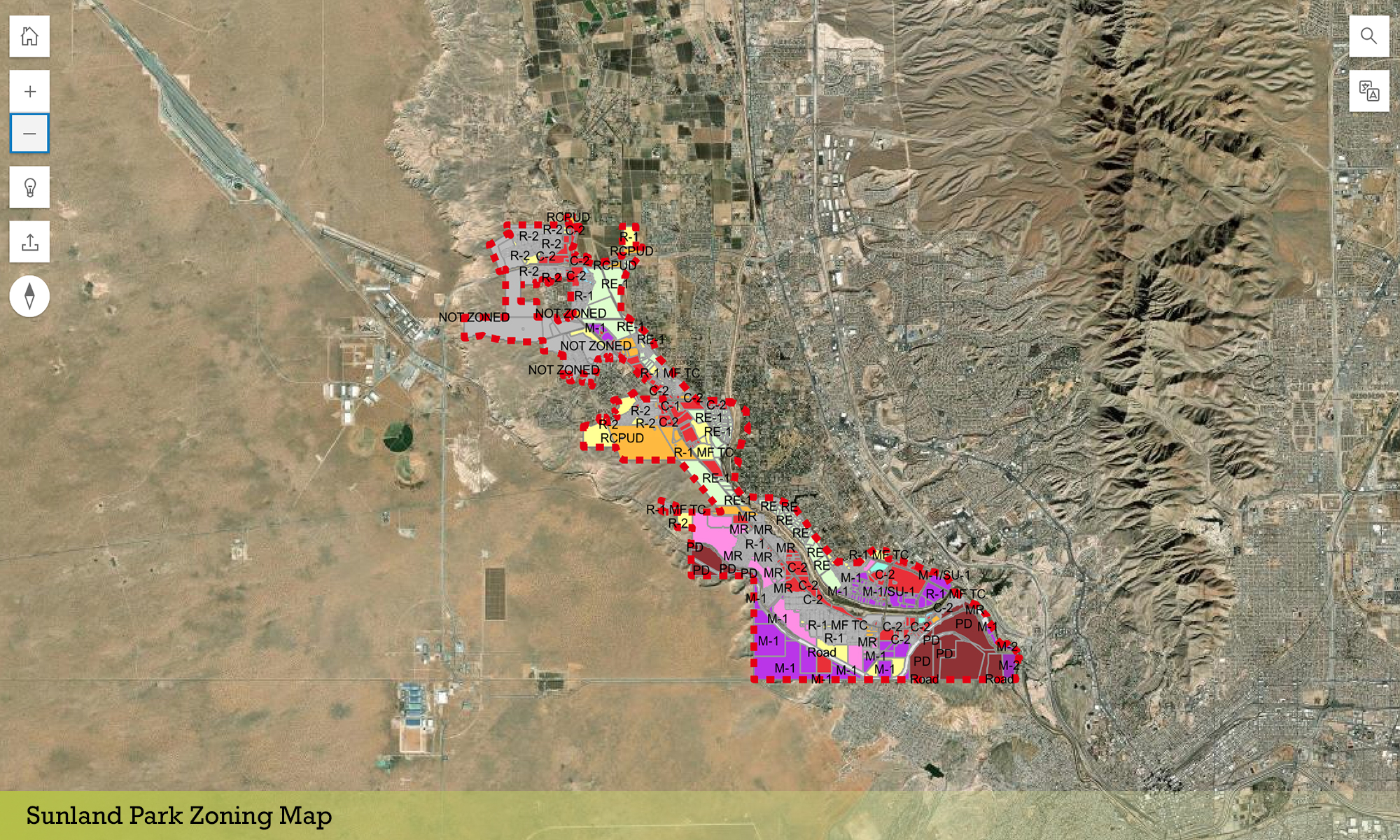
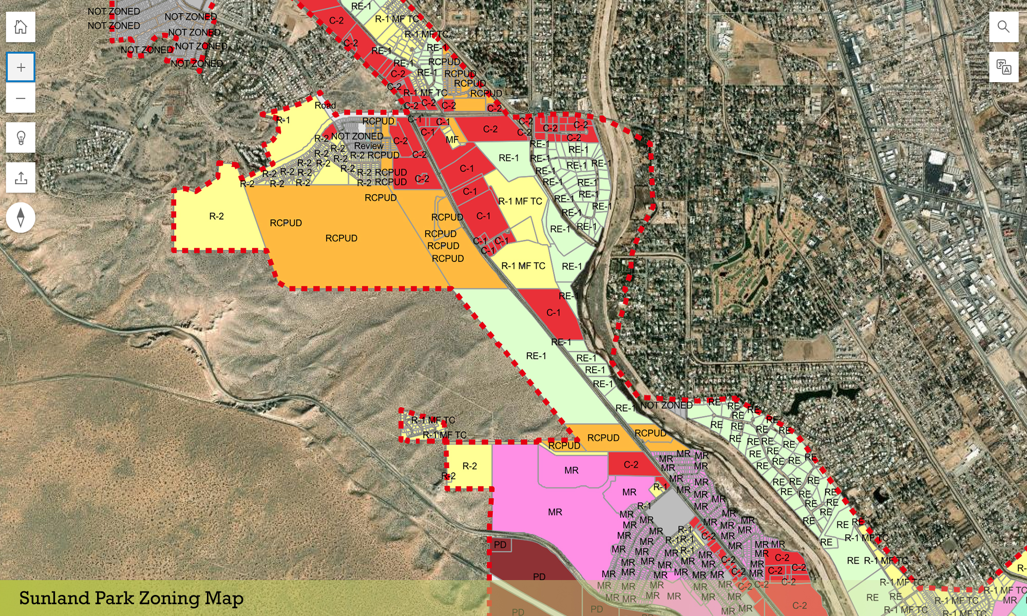
The City of Sunland Park utilized Consensus Planning to update its GIS zoning map. City boundaries and parcel data had changed significantly since the City’s zoning map was last adopted in 2018. Consensus Planning analyzed zoning data to identify any changes between data iterations and reviewed documentation of approved zone changes make applicable updates to the data. The zoning data was then updated to correspond to current parcel data boundaries. We provided detailed documentation of where old zoning boundaries did not align with new parcel data and worked closely with City staff to identify the correct zoning. Consensus Planning uploaded the new zoning data to the City’s ArcGIS online environment, and designed, produced, and published a new web map.